What to Expect
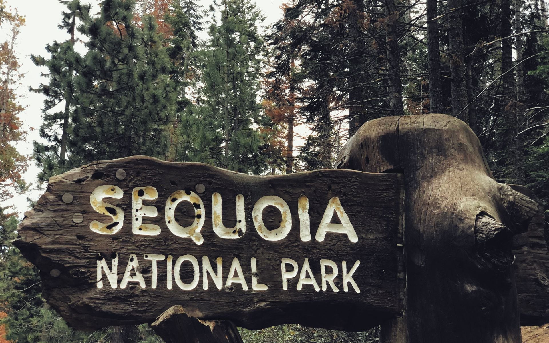
Sequoia National Park protects the giant sequoia groves of the southern Sierra Nevada, and the scale is the whole point. These trees are not the tallest (that is the coast redwoods up north), they are the most massive, and standing at the base of one reorders your sense of size. The park runs from foothills around 1,700 feet up to the crest of the Sierra, where Mount Whitney, the highest peak in the Lower 48 at 14,505 feet, sits on the park's eastern boundary. You cannot drive to Whitney from inside the park; the trailhead is a long way around on the east side.
Sequoia shares a boundary and a single entrance fee with neighboring Kings Canyon National Park, and the two are joined by the Generals Highway. Most visitors treat them as one trip. The heart of Sequoia is the Giant Forest, a plateau around 6,400 feet where the biggest trees cluster along easy trails. Summers are warm and dry up here; winters bring real snow, and chains are often required.
This is one of California's quieter marquee parks, which is part of the appeal. It draws well under half Yosemite's crowds. It belongs on any list of the state's best national parks, and it features on our roundup of the best national parks in California.
What to Do
Start with the General Sherman Tree. A paved half-mile trail (downhill on the way in, so save energy for the climb back) drops you at the base of a sequoia that is about 275 feet tall and estimated at over 2,000 years old. From the same area, the Congress Trail is a flat, roughly two-mile paved loop that threads past named giants like the President and the House and Senate groups, and it sheds the crowds within a few hundred yards.
Moro Rock is the other signature stop: a granite dome with about 350 stairs carved and bolted into the rock, climbing to a railed summit with a wide view of the Great Western Divide. It is short, maybe a quarter mile, but the exposure and the steps get your attention. Nearby, you can drive your car through the Tunnel Log, a fallen sequoia cut with an eight-foot passage, and walk the meadow loop at Crescent Meadow, which John Muir called the gem of the Sierra.
For more effort, Tokopah Falls is a 3.8-mile round-trip valley walk to a 1,200-foot cascade, best in early summer. Crystal Cave, a marble cavern, runs guided tours in season (buy tickets in advance, not at the cave). If you are chaining Sierra parks together, the drive north toward Lake Tahoe makes a natural extension of a High Sierra loop.
Getting There and Parking
The main entrance is Ash Mountain on Highway 198, reached through the gateway town of Three Rivers. From there the Generals Highway climbs fast and winding toward the Giant Forest. This road is steep, with tight switchbacks, and the park advises vehicles longer than 22 feet to enter through Kings Canyon on Highway 180 instead and approach the Giant Forest from the north. Take that advice seriously if you are driving an RV or towing.
Fresno Yosemite International (FAT) is the closest major airport, roughly an hour and a half to the Highway 198 entrance, and Visalia sits just down the road as the last full-service town. From Los Angeles plan on about four hours, and from San Francisco around four and a half to five. A car is required; there is no transit into the park.
Entrance is $35 per vehicle for seven days, and the same pass covers Kings Canyon. In summer, the Giant Forest and General Sherman areas fill up, and a free shuttle runs between the main hubs, so park once and ride. In winter, the upper road can close on short notice for snow, and chains are frequently required even on all-wheel-drive vehicles.
Best Time to Go
June through September is prime time. The Generals Highway is fully open, the trails are clear, Crystal Cave tours are running, and the shuttle is in service. Summer days in the Giant Forest are pleasant, in the 70s and low 80s, far cooler than the baking Central Valley you drove up from. Weekends and holiday weeks bring the biggest crowds, so aim for a weekday if you can.
Fall, roughly late September into October, is quieter and still comfortable, with the shuttle winding down and the first snows possible up high. Winter turns the Giant Forest into a snowshoe and cross-country ski destination, and the trees dusted with snow are worth the effort, but you must carry chains, check road status before you drive, and be ready for the upper road to close.
Spring is a transition. The foothills green up and wildflowers show along Highway 198, but the high country holds snow into May or June, and some facilities stay closed until the road fully clears. If you want everything open and easy, target July and August.
Where to Stay and Eat
Wuksachi Lodge is the main in-park hotel, sitting at around 7,200 feet a short drive from the Giant Forest, with a restaurant on site. It books out well ahead for summer, so reserve early. Silver City Mountain Resort, on the Mineral King road, offers rustic cabins for a more off-grid stay. Just north in Kings Canyon, the John Muir Lodge and Grant Grove Cabins add more beds within easy reach of Sequoia's sights.
The gateway town of Three Rivers, just outside the Ash Mountain entrance, has motels, vacation rentals, and casual restaurants, and it is the last place to fuel up and stock a cooler before the climb. Visalia, about 40 minutes down the valley, has the full range of chain hotels and dining if you would rather base in town and day-trip up.
Food inside the park is limited to the Wuksachi Lodge dining room and a few seasonal snack bars, so bring your own supplies for lunch on the trail. Bear-proof food storage is required at all trailheads and campgrounds, so use the metal lockers and never leave food in your car. Sequoia sits within the broader High Sierra region, which is worth reading to plan the rest of your mountain time.
Frequently asked questions
Is Sequoia the same trip as Kings Canyon?
Effectively yes. The two parks share a boundary, a single $35-per-vehicle entrance fee, and the Generals Highway that connects them. Most visitors see both on one trip, spending time in Sequoia's Giant Forest and Kings Canyon's Grant Grove and, in summer, the canyon floor at Cedar Grove.
Can I drive an RV into Sequoia?
You can, but the Generals Highway from the Highway 198 (Ash Mountain) entrance is steep and tightly switchbacked, and the park recommends vehicles longer than 22 feet enter through Kings Canyon on Highway 180 instead. Check current length advisories on nps.gov before you commit to the 198 approach.
How long does it take to see the General Sherman Tree?
The paved trail to the base is about a half mile each way, downhill going in and uphill coming out, so budget 30 to 45 minutes. Add the roughly two-mile Congress Trail loop from the same trailhead if you want more giants with far fewer people.
What is the closest airport to Sequoia?
Fresno Yosemite International (FAT) is closest, about an hour and a half to the Highway 198 entrance, with Visalia as the nearest full-service town. Los Angeles is roughly four hours by road and San Francisco about four and a half to five. A rental car is required.
Do I need chains in winter?
Often, yes. The upper Generals Highway climbs above 6,000 feet, and chain requirements are common from late fall through spring, sometimes even for all-wheel-drive vehicles. Carry chains, know how to fit them, and check road and weather status before you head up.