What Highway 1 Is
Highway 1 (also called the Pacific Coast Highway, or PCH) hugs the California coast for hundreds of miles, but the showpiece is the roughly 90-mile Big Sur stretch between Carmel and San Simeon. This is where the road clings to cliffs above the Pacific, crosses the Bixby Creek Bridge, and passes McWay Falls dropping onto the beach at Julia Pfeiffer Burns State Park. It is a two-lane road with steep drop-offs, tight curves, and low speed limits, so the mileage badly understates the driving time.
Most people drive Highway 1 as part of a larger coast trip connecting the San Francisco Bay Area and Los Angeles. The natural shape is one direction on the coast and the faster inland Interstate 5 or Highway 101 the other way, so you never repeat the drive. San Francisco to LA on Highway 1 runs 9 to 10 hours of actual driving before you add a single stop, versus about 6 hours on I-5.
Do not treat this as a way to get somewhere. Treat it as the destination. The right plan is to give Big Sur most of a day, not to blast through it on the way to a hotel three hours south.
Which Direction and How Long to Give It
Drive Highway 1 north to south (San Francisco toward LA) and you ride the ocean side of the road, which makes the pullouts easier to reach and the views closer to your window. Plenty of people drive it the other way for the same scenery in reverse; the ocean-side argument is the main reason southbound gets the nod.
Give the full San Francisco to LA coast run at least two days, and three is better. A common rhythm is night one on the Monterey Peninsula, night two in or near Big Sur or San Simeon, and on into Santa Barbara or LA from there. Trying to do it in a single day means driving in the dark through the best part and missing the point entirely.
For a shorter taste, the Monterey-to-San Simeon segment is the core. You can base in Monterey or Carmel, spend a day driving south through Big Sur to Hearst Castle at San Simeon, and turn back, all without committing to the full statewide route. Pair the drive with the season using the best time to visit guide, since fog and daylight change the experience a lot by month.
The Stops That Are Worth Pulling Over For
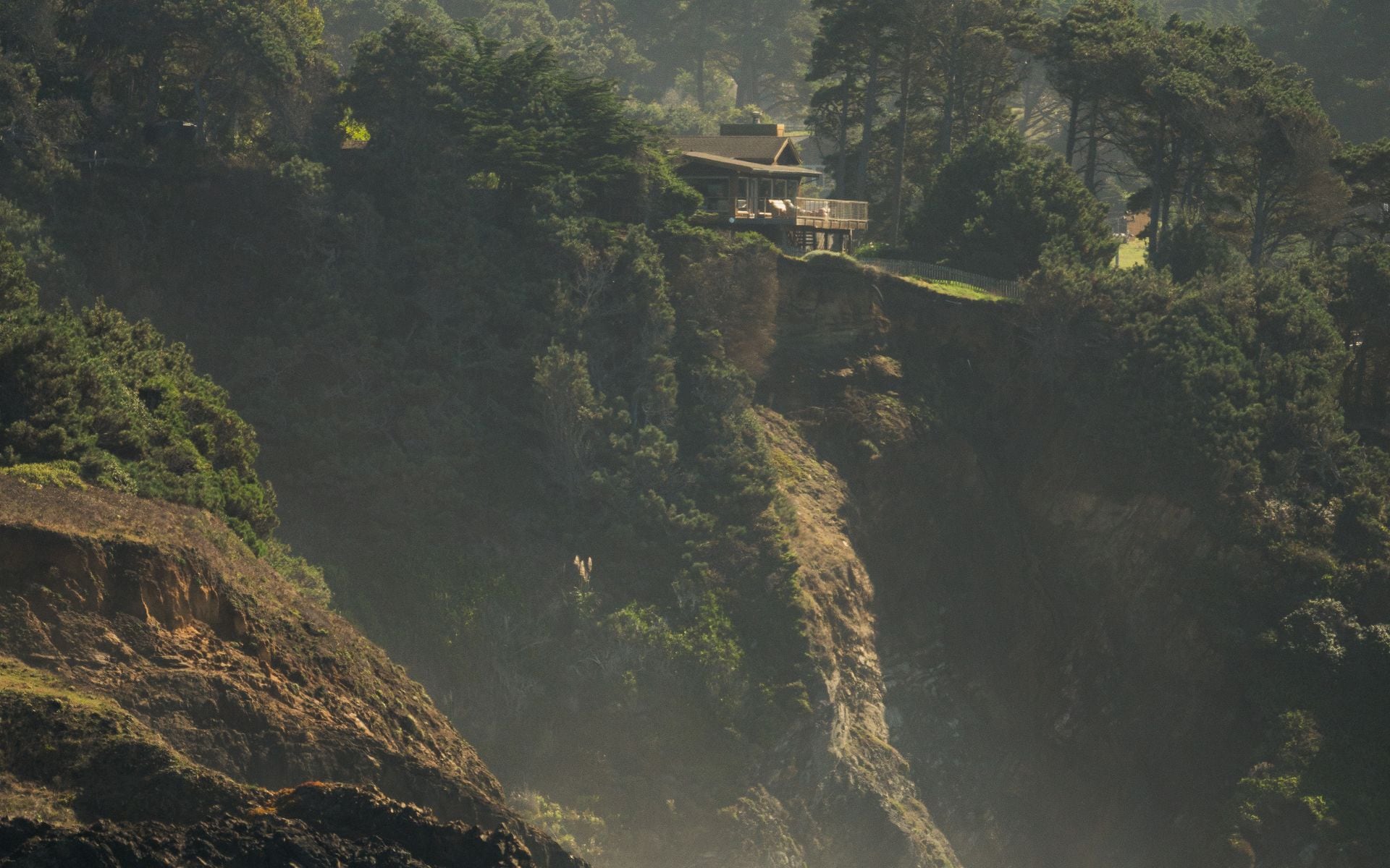
Heading south from Carmel, the first landmark is the Bixby Creek Bridge, one of the most photographed spots on the California coast, with a pullout on the north side. Point Sur and its light station sit just beyond. Pfeiffer Big Sur State Park has redwood trails, and nearby Pfeiffer Beach is known for its purple-tinged sand and a rock arch offshore, reached by a narrow side road.
Julia Pfeiffer Burns State Park holds McWay Falls, an 80-foot waterfall that drops onto a cove beach, viewed from a short cliff trail. Farther south, the elephant seal rookery at Piedras Blancas near San Simeon puts hundreds of seals on the beach within easy view from a boardwalk, especially in winter and spring. Hearst Castle at San Simeon is the big paid attraction at the southern end, with tours of the hilltop estate.
Space the stops out and pick a few rather than trying to hit all of them. The pullouts fill up on summer weekends, and the driving between them is slow enough that a handful of good stops fills a day. Gas and food are sparse through Big Sur, so fuel up in Carmel or Cambria and do not count on a station in between.
Closures, Fog, and Timing
Highway 1 through Big Sur closes from time to time, usually because of landslides after heavy winter rains. Sections have shut for months at a stretch in recent years, sometimes forcing a detour or an out-and-back instead of a through drive. Always check the current road status before you commit to driving the full coast, because a closure can turn a through-route into a dead end.
Fog is the other timing factor. Summer mornings on this coast are often gray and socked in, with the marine layer hiding the views until it burns off in the afternoon. Fall, roughly September and October, gives the clearest coastal weather of the year. Driving Big Sur at midday or early afternoon usually beats a foggy early start.
Winter brings the elephant seals and the biggest waves but also the rain that triggers closures, so weigh the trade-offs by season. For a broader read on which half of the state fits your trip and when, see the Northern versus Southern California guide.
Fitting Highway 1 Into a Bigger Trip
Highway 1 slots naturally into a coast-focused California itinerary. A clean version runs San Francisco, down the coast through Monterey and Big Sur, to Santa Barbara and LA, then inland on the fast route if you need to loop back. Adding an inland park like Yosemite or Sequoia means peeling off Highway 1 and accepting a long drive each way, so decide whether the coast or the parks is the priority.
If your trip does include the parks, sort the reservations and permits early, because Yosemite and the popular campgrounds book out months ahead and some seasons require timed entry. Handle that before you lock the coast dates using the park reservations and permits guide.
However you shape it, protect the time for Big Sur itself. It is the piece of the California coast that most rewards slowing down, and the most common regret is racing it. Build the rest of the route around giving this stretch a proper day, then fill in the surrounding regions with the full California travel guide.
Frequently asked questions
How long does it take to drive Highway 1 from San Francisco to Los Angeles?
About 9 to 10 hours of actual driving before any stops, versus roughly 6 hours on Interstate 5 inland. Realistically you should give the coast route at least two days, and three is better, so you can stop for Big Sur and the coastal towns rather than driving it in the dark.
Which direction should I drive Highway 1?
North to south, from San Francisco toward Los Angeles, puts you on the ocean side of the road, which makes the pullouts easier to reach and the views closer. It works fine either way, but southbound is the usual recommendation for that reason.
Is Highway 1 through Big Sur ever closed?
Yes, fairly often. Landslides after heavy winter rains have closed sections of the Big Sur stretch for months at a time in recent years. Always check the current road status before you commit to driving the full coast, since a closure can force a detour or an out-and-back.
Where should I stop along Big Sur?
The highlights southbound from Carmel are the Bixby Creek Bridge, Pfeiffer Beach, McWay Falls at Julia Pfeiffer Burns State Park, the Piedras Blancas elephant seal rookery, and Hearst Castle at San Simeon. Pick a few rather than all, and fuel up in Carmel or Cambria since gas is sparse in between.