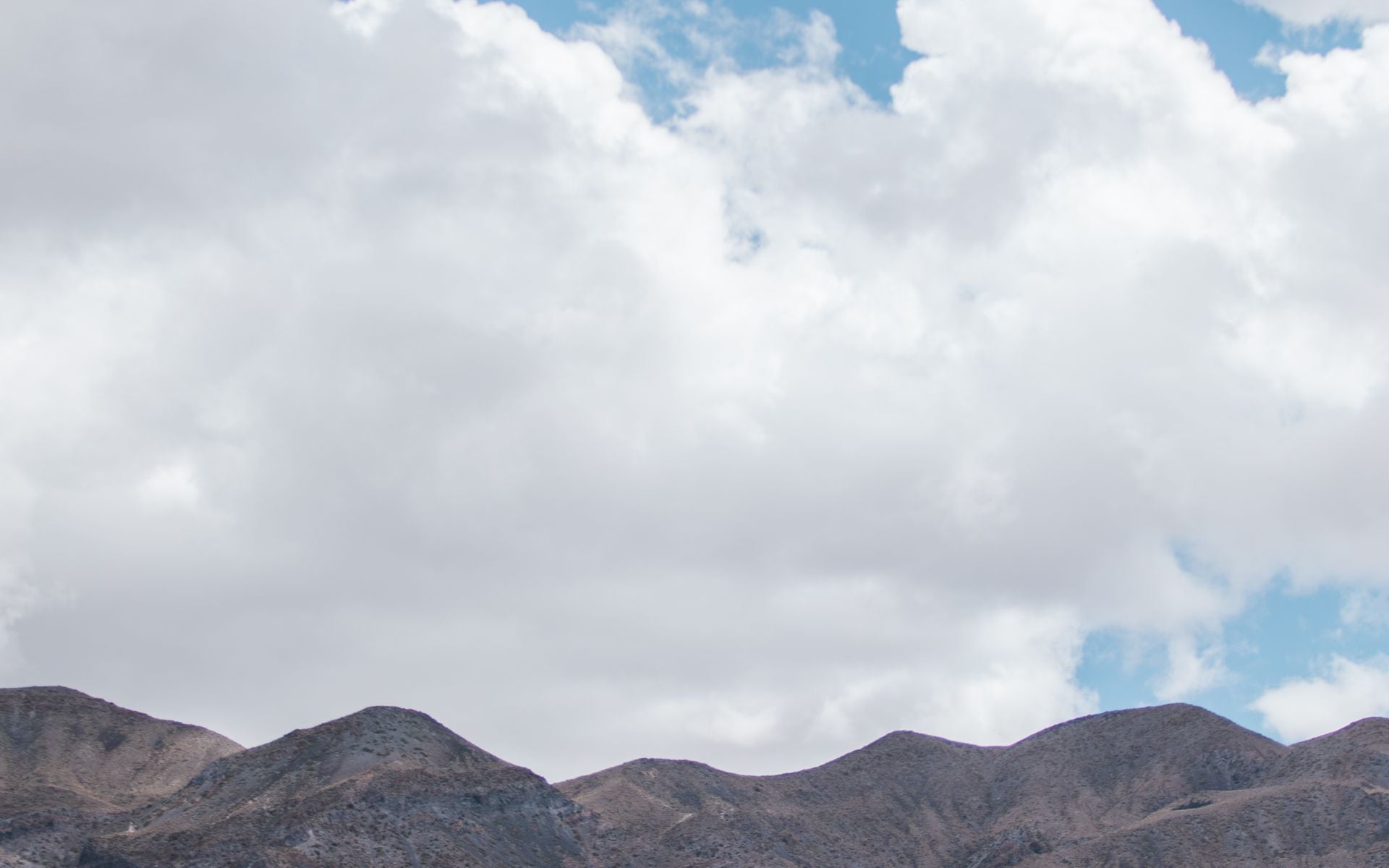
Why This Loop Depends on the Season
Tahoe and Yosemite are both in the Sierra, but they are about 5 hours apart by road and separated by the mountain crest. The scenic way to connect them runs south from Tahoe down Highway 395 through the Eastern Sierra, then west into Yosemite over Tioga Pass on Highway 120. Tioga is the highest paved pass in California at 9,945 feet, and it is closed by snow for roughly half the year, usually from November until late May or June. That single fact sets the whole trip: this loop is a summer-and-early-fall plan, generally July through October, and not a winter one.
If you try this in winter, there is no crossing over the crest. You would have to drive the long way around through Sacramento and into Yosemite from the west, which turns a scenic loop into a two-sided out-and-back and skips the Eastern Sierra entirely. So check the Tioga Road status on nps.gov before you commit to dates. In a heavy snow year the pass may not open until late June, and it can close early after an autumn storm.
Start and end in the San Francisco Bay Area, which puts a major airport at each end of the loop. The whole route sits inside the High Sierra region, and it links two of the state's headline destinations: Lake Tahoe and Yosemite National Park.
Days 1-2: San Francisco to Lake Tahoe
Day 1 is a travel day. From San Francisco it is about 3.5 to 4 hours and 190 miles to South Lake Tahoe, mostly on Interstate 80 or Highway 50. Come up Highway 50 to arrive on the south shore, which has the most lodging and the easiest access to the rest of the loop. Base two nights on the south shore: Edgewood Tahoe Resort sits right on the lake with its own golf course and beach, and Harrah's Lake Tahoe puts you at the Nevada state line with casinos and dining a short walk away. For a casual first dinner, Base Camp Pizza Co. in the Heavenly Village is a reliable, family-friendly stop.
Day 2 is your lake day. Tahoe is the largest alpine lake in North America and it is startlingly clear and cold. Drive the west shore to Emerald Bay State Park for the overlook above the island and the hike down to Vikingsholm, a stone mansion at the water's edge. Sand Harbor on the Nevada side has the best swimming and kayaking, with granite boulders and shallow turquoise coves. Rent a paddleboard, take a boat cruise, or just find a beach; the water rarely warms past the low 60s even in August, so it is bracing.
Tahoe is a year-round resort, but this loop needs the summer version. In winter the south shore is a ski town built around Heavenly and the surrounding resorts, and the passes south are closed. Read the full Lake Tahoe guide for the seasonal breakdown before you lock in your dates.
Days 3-4: Down Highway 395 to Mammoth Lakes
Day 3 you drop down the east side of the Sierra. From South Lake Tahoe, Highway 395 runs south through high desert and mountain towns to Mammoth Lakes, about 3 hours and 165 miles. Stop at Mono Lake near Lee Vining, an ancient saline lake studded with tufa towers, and at the Mono Basin overlook for the view. This is the junction where Tioga Road climbs west into Yosemite; note it now, because you will take it in two days. Base two nights in Mammoth: The Village Lodge puts you in the middle of the walkable village, Tamarack Lodge & Resort sits on a quiet lake just outside town, and Convict Lake Resort is a rustic option beside one of the prettiest lakes in the range.
Day 4 is your Mammoth day. Ride the gondola from Main Lodge to the 11,053-foot summit of Mammoth Mountain for a look across to the Minarets, or in summer take the shuttle to Devils Postpile National Monument to see the columnar basalt and Rainbow Falls. Convict Lake and the Lakes Basin offer easy shoreline walks and trout fishing, and the town has hot springs scattered across the surrounding valley. Mammoth is a full destination in its own right; the Mammoth Lakes guide covers the summer and winter versions.
The Eastern Sierra between Tahoe and Mammoth is empty, dramatic country, and services are spread out. Fuel up in the larger towns like Bishop or Mammoth rather than counting on the small ones, and expect long gaps between gas stations.
Days 5-7: Over Tioga Pass Into Yosemite, Then Home
Day 5 is the crossing that defines the trip. From Mammoth, backtrack north on Highway 395 to Lee Vining, then turn west and climb Tioga Road over Tioga Pass into Yosemite's high country. Lee Vining to Yosemite Valley is about 2.5 hours, but do not rush it: this is Tuolumne Meadows country, a subalpine world of granite domes and open meadows at 8,600 feet that most valley visitors never see. Stop at Tenaya Lake and Olmsted Point along the way. Descend into Yosemite Valley for two nights; in-park beds at Yosemite Valley Lodge and the grand Ahwahnee book months ahead, and Oakhurst on Highway 41 is the gateway-town fallback.
Day 6 is your full Yosemite Valley day. Walk the Mist Trail toward Vernal and Nevada Falls, take in Tunnel View and El Capitan, and if Glacier Point Road is open drive up for the overhead look at Half Dome. Start early, because valley parking fills by mid-morning and Yosemite has run a peak-season day-use reservation system in recent summers. The waterfalls run hardest in late spring and early summer; by August the smaller ones thin out. The Yosemite National Park guide has the trail and reservation specifics.
Day 7 you head home. Yosemite Valley to San Francisco is about 4 hours on Highway 120 west, closing the loop. If you have more California in your plans, this Sierra run pairs well with a warm-weather Southern California beach trip or a coastal Pacific Coast Highway road trip. Yosemite and the high country also headline our tour of California's national parks. Sketch the wider trip from the California travel guide.
Before You Go
Confirm Tioga Road is open before you book anything. It is the linchpin of the loop, and its opening date swings from mid-May to late June depending on the winter's snowpack. Check the Tioga Pass status on nps.gov and have a backup plan if it is still closed when you travel, since the alternative is the long drive around the west side of the range.
Reserve your Yosemite lodging and check the current reservation rules early. In-park rooms and campgrounds sell out months ahead, and the peak-season day-use reservation requirement changes year to year. Buy the $80 America the Beautiful annual pass or pay the $35 per-vehicle Yosemite entrance at the gate.
Pack for altitude and swings in temperature. You will be at 6,000 to 9,900 feet for much of the loop, where afternoons are warm but nights drop into the 40s even in July. Bring layers, sun protection, and more water than you think, take it easy the first day at altitude, and keep the fuel tank topped up across the empty Eastern Sierra stretches.
Frequently asked questions
Can you drive between Tahoe and Yosemite?
Yes, in summer and early fall. The scenic route runs south from Tahoe on Highway 395 through the Eastern Sierra, then west into Yosemite over Tioga Pass on Highway 120, about 5 hours of driving with the stops this itinerary suggests. In winter Tioga Pass is closed and you must detour the long way around through the west side of the Sierra.
When does Tioga Road open?
Usually late May or June, and it closes again around November, depending on snow. In a heavy winter it may not open until late June, and an early autumn storm can close it sooner. Always check the current status on nps.gov before planning a loop that depends on the pass.
How many days do you need for Tahoe and Yosemite together?
Seven days is comfortable: two nights at Tahoe, two at Mammoth, two in Yosemite Valley, and the travel days built around them. You can trim it to five by cutting the Mammoth stop and driving straight from Tahoe to Yosemite over the pass, but Mammoth and the Eastern Sierra are a highlight of the route, not filler.
What is the best time of year for this trip?
July through September, when Tioga Road is reliably open, Tahoe is warm enough to enjoy the water, and Yosemite's high country is accessible. Early October can be beautiful and quieter, but watch the forecast, since the first big snow can close the pass. This is not a winter itinerary.
Which direction should I drive the loop?
Either works, but starting at Tahoe and ending at Yosemite, as laid out here, means you cross Tioga Pass descending into the valley, which is the more dramatic approach. It also keeps the drive back to San Francisco short on the final day, since Yosemite is closer to the Bay Area than Tahoe is by this route.