How to Choose a Hike Here
Season decides almost everything. The Sierra high country is a July-through-October window once the snow melts, the desert trails are an October-through-April game before the heat, and the coast hikes work most of the year. Elevation matters too: many Sierra trailheads sit above 8,000 feet, so give yourself a day to adjust and start early to beat afternoon thunderstorms in summer.
Every hike below is a real, marked trail on public land. Distances are round trip. Our California Travel Guide maps the regions each sits in, and the hotels and resorts directory lists real lodging near the major trailheads so you are not driving hours before dawn. Several of these pair naturally with a stop on our best state parks list.
The Sierra Nevada
**Trail: Mist Trail to Vernal and Nevada Falls · Region: Yosemite · Distance: 3–7 mi · Difficulty: hard**. The Mist Trail is Yosemite's signature day hike, climbing a granite staircase alongside two waterfalls that soak you in spray during the spring melt. Turn around at the top of Vernal Fall for a shorter 3-mile day, or push on to Nevada Fall for the full 7 miles. Go in May or June for the fullest water, and start early.
**Trail: Half Dome · Region: Yosemite · Distance: 14–16 mi · Difficulty: very hard, permit required**. Half Dome is the bucket-list Yosemite climb, a 14-to-16-mile round trip that ends up the famous cable route to the summit. You need a permit through a lottery, it gains nearly 5,000 feet, and it is a genuine all-day effort. Only attempt it if you are fit and the cables are up, usually late May through October.
**Trail: Mount Tallac · Region: Lake Tahoe · Distance: ~10 mi · Difficulty: hard**. Mount Tallac gives you the best view over Lake Tahoe from its 9,700-foot summit, a strenuous 10-mile climb above Emerald Bay. It is the standout day hike in the High Sierra around Tahoe, best from July into October once the snow clears.
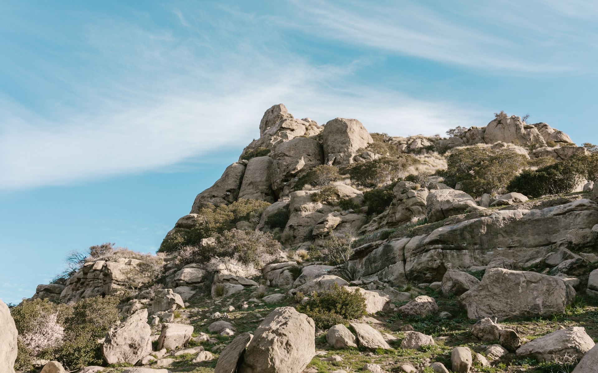
The North and the Volcanic Country
**Trail: Lassen Peak · Region: Shasta Cascade · Distance: ~5 mi · Difficulty: hard**. Lassen Peak is a volcano you can hike to the top of, a 5-mile round trip that climbs 2,000 feet to a 10,457-foot summit with views across the far north. The trail usually clears of snow by July. Pair it with the boardwalk through the boiling mud pots at Bumpass Hell nearby.
**Trail: Fern Canyon · Region: Redwood Coast · Distance: ~1 mi · Difficulty: easy**. Fern Canyon in the Redwood parks is a short, flat walk up a narrow gorge with 50-foot walls draped in ferns, famous enough that Jurassic Park filmed here. It is an easy family hike deep in the North Coast, best paired with the nearby groves of the tallest trees on earth. Summer access may require a permit for the access road.
**Trail: Tomales Point · Region: Point Reyes · Distance: ~10 mi · Difficulty: moderate · Drive from SF: 1.5 hrs**. Tomales Point at Point Reyes National Seashore runs out a narrow finger of land between the ocean and Tomales Bay, through the tule elk reserve, with whales visible offshore in winter and spring. It is the best coastal hike within easy reach of the San Francisco Bay Area.
The Central Coast and the Deserts
**Trail: High Peaks Trail · Region: Pinnacles · Distance: ~7 mi · Difficulty: hard**. The High Peaks loop at Pinnacles National Park climbs through the spires of an ancient volcano, with narrow carved steps and railings near the top and a good chance of spotting California condors overhead. Hike it in spring or fall; summer inland heat makes it brutal. Spring also brings the wildflowers.
**Trail: Ryan Mountain · Region: Joshua Tree · Distance: ~3 mi · Difficulty: moderate**. Ryan Mountain is the best short summit in Joshua Tree, a 3-mile round trip to a 5,400-foot peak with a wide view over the boulder fields and desert basins. Do it in the cool months, October through April, and carry water even in winter. It is an easy introduction to the desert's high country.
**Trail: Golden Canyon to Zabriskie Point · Region: Death Valley · Distance: ~4–6 mi · Difficulty: moderate**. Golden Canyon winds up through the eroded badlands below Zabriskie Point, one of the best walks in Death Valley and a way to see the painted hills up close. Hike it early in the day and only from November through March, when the desert is safe to be out in on foot.
**Trail: Lost Palms Oasis · Region: Joshua Tree (Cottonwood) · Distance: ~7 mi · Difficulty: moderate**. Lost Palms Oasis leads to the largest stand of native California fan palms in the park, hidden in a desert canyon. It is a quieter alternative to the busy north end and, like everything out here, a cool-season hike only in the desert country.
Matching the Hike to Your Trip
For a first California trip in summer, the Mist Trail in Yosemite is the one to build a day around, with Mount Tallac at Tahoe as a strong second. For a coastal trip, Tomales Point at Point Reyes is the best day hike near San Francisco. For a winter or spring visit, go to the deserts and pick Ryan Mountain or Golden Canyon, when the Sierra is buried and the desert is finally comfortable.
Start early, carry more water than you think you need, and check current trail and road status before you drive, since Sierra passes, desert heat, and coastal fire closures all shift access by season. Base near the trailheads through the hotels directory, and if you want to connect several hikes into a driving route, our best scenic drives guide covers the roads that link them.
Frequently asked questions
What is the best hike in California for a first visit?
The Mist Trail in Yosemite, which climbs a granite staircase past Vernal and Nevada Falls. You can turn around at the top of Vernal Fall for a 3-mile day or continue for the full 7 miles. Hike it in May or June when the waterfalls run hardest, and start early to beat the crowds and the heat.
Do I need a permit to hike Half Dome in Yosemite?
Yes. Half Dome requires a permit obtained through a preseason lottery in March or a daily lottery during the season. The cables that make the final climb possible are up roughly late May through October. It is a 14-to-16-mile all-day hike with nearly 5,000 feet of gain, so only attempt it if you are fit.
When can I hike the desert trails safely?
October through April. From May through September, Death Valley and Joshua Tree see highs of 100 to 120 Fahrenheit, and hiking becomes genuinely dangerous. Even in the cool months, carry plenty of water, start early, and turn back if you run low. The reverse is true in the Sierra, where trails are snowbound in winter.
Are there easy hikes in California for families?
Yes. Fern Canyon in the Redwood parks is a flat, one-mile walk through a fern-draped gorge, and the boardwalk loops in Lassen and the shorter stretches of the Mist Trail work well for kids. Ryan Mountain in Joshua Tree is a manageable 3-mile climb for families with older children in the cool season.